
- Catalogs
- microdrones
- mdMAPPER200

mdMAPPER200

mdMAPPER200
Overview: The mdMapper200 is a professional aerial mapping solution designed by Microdrones to integrate easily into business operations. It offers a compact, robust, and reliable platform for efficient mapping projects, providing a competitive edge in the industry.
Key Features:
- md4-200 Aircraft: A lightweight, easy-to-transport UAV that is durable enough for rough weather and daily use, capable of mapping up to 25 hectares (62 acres).
- Camera & Mount: Equipped with a 20.1 megapixel camera and a custom, vibration-free nadir mount for high-quality image capture.
- Flight Battery & Charger: Includes a flight battery and charger to maximize flight endurance.
- mdWaypoint: A flight planning module for automated flight preparation and execution.
- Digital Data Link: Facilitates connection between the UAV and digital devices.
- mdRC: Professional controls and telemetry for reliable operation.
- mdCockpit Tablet Software: Allows for easy survey planning and in-flight monitoring via an Android tablet.
- Rugged Carrying Case: Designed for transporting the UAV to challenging locations.
- mdAcademy: Training for expertise in flying and maintaining the UAV.
Benefits:
- High efficiency with German-engineered quality.
- Comparable accuracy to traditional ground surveying in less time.
- Compact design for simplified transport.
- Flight duration of 20-25 minutes, even in adverse conditions.
- Compatible with precision agriculture accessory kits.
Comparison with Other Models:
- mdMapper200: Covers 30 ha (74 ac.) with a Sony W830 camera, JPEG imagery, and requires GCP for accuracy.
- mdMapper1000: Covers 60 ha (148 ac.) with a Sony a6300 camera, RAW + JPEG imagery, and requires GCP.
- mdMapper1000DG: Covers 80 ha (198 ac.) with a Sony RX1RII camera, RAW + JPEG imagery, and does not require GCP due to high precision sensors.
Conclusion: The mdMapper200 is an accessible entry point for businesses looking to incorporate aerial mapping, offering a balance of portability, reliability, and efficiency.
Catalog excerpts

COMPACT MAPPER, CAN-DO ATTITUDE.
Open the catalog to page 1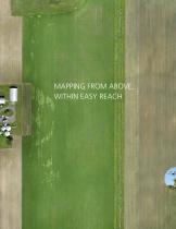
MAPPING FROM ABOVE, WITHIN EASY REACH
Open the catalog to page 2
md4-200 Robust, powerful, stable and dependable. Build your business on this versatile platform. Lightweight Camera & Mount 20.1 megapixel camera paired with a custom, lightweight, vibration-free, nadir mount to capture the images you need. ► mdMAPPER It's never been easier to make aerial mapping a part of your business. Take your business to a higher level with a professional mapping solution from Microdrones. This basic package has everything you need to complete mapping projects more quickly and accurately, while gaining a competitive edge. Compact but robust, the md4-200 aircraft at the heart of...
Open the catalog to page 3
Get ready to elevate your business. This competitively priced, highly capable package makes it easy to start using drones on the job - or add a smaller, more lightweight UAV to your geospatial arsenal. The compact md4-200 UAV is easy to take on any mapping job, yet achieves long flight times and reliability in less-than-perfect weather. • Improve your efficiency with a high-quality German-engineered system. • Achieve the same accuracy as traditional ground surveying in less time. • Enjoy simplified transport of your UAV, thanks to its compact design. • Fly 20 - 25 minutes, even in less-than-ideal...
Open the catalog to page 4All Microdrones catalogs and technical brochures
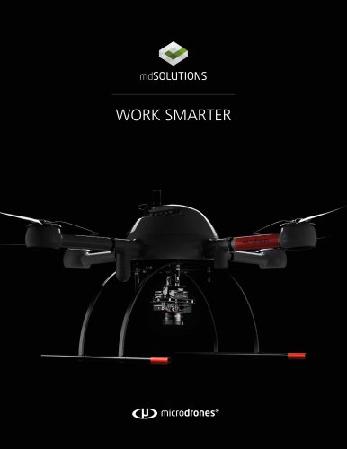 WORK SMARTER
24 Pages
 mdMAPPER_Accessories
2 Pages
 mdMAPPER1000DG
4 Pages
 mdMAPPER1000
4 Pages
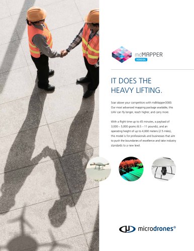 mdMAPPER3000DG
2 Pages