Catalog excerpts

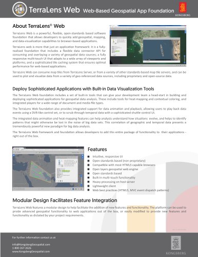
Web-Based Geospatial App Foundation About TerraLens® Web TerraLens Web is a powerful, flexible, open-standards based software foundation that allows developers to quickly add geospatial, mapping, and data-visualization capabilities to browser-based applications. TerraLens web is more that just an application framework: it is a fullyrealised foundation that includes a flexible data connector API for consuming and overlaying a variety of geospatial data sources; a fully responsive multi-touch UI that adapts to a wide array of viewports and platforms; and a sophisticated tile caching system that ensures optimal performance for web-based applications. TerraLens Web can consume map tiles from TerraLens Server, or from a variety of other standards-based map tile servers, and can be used to plot and visualize data from a variety of geo-referenced data sources, including proprietary and open-source data. Deploy Sophisticated Applications with Built-in Data Visualization Tools The TerraLens Web foundation includes a set of built-in tools that can give your development team a head-start in building and deploying sophisticated applications for geospatial data analysis. These include tools for heat-mapping and contextual coloring, and integrated players for a wide range of document and media file types. The TerraLens Web foundation also provides integrated support for data animation and playback, allowing users to play back data events using a DVR-like control set, or to scrub through temporal data with a sophisticated shuttle control UI. The integrated data animation and heat-mapping features can help analysts understand how situations evolve, and helps to identify patterns that might otherwise be lost in the noise of big data sets. This correlation of geographic and temporal data presents a tremendously powerful new paradigm for big data analysis. The TerraLens Web framework and foundation allows developers to add this entire package of functionality to their applications right out of the box. Features Intuitive, responsive UI Open-standards based (non proprietary) Compatible with most HTML5 capable browsers Open layers geospatial web engine Open standards based Built-in multi-touch functionality Heavy processing on host server Lightweight client Web best practices (HTML5, MVC event dispatch patterns) Modular Design Facilitates Feature Integration TerraLens Web features a modular design to help facilitate the addition of new features and functionality. The platform can be used to prvide advanced geospatial functionality to web applications out of the box, or easily modified to provide new features and functionality as dictated by your project requirements. For further information contact us at info@KongsbergGeospatial.com 1-800-267-2626 www.KongsbergGeospati
Open the catalog to page 1All KONGSBERG GEOSPATIAL catalogs and technical brochures
-
TerraLens Server
1 Pages
-
terralens_mobile
1 Pages
-
terralens_core
2 Pages


