
- Catalogs
- Inertial Labs, Inc.
- INS-DM-FI Datasheet


- Company
- Products
- Catalogs
- News & Trends
- Exhibitions
INS-DM-FI Datasheet
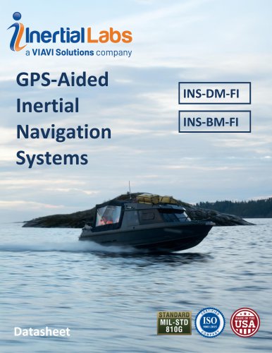
INS-DM-FI Datasheet
The Inertial Labs GPS-Aided Inertial Navigation System (INS-DM-FI, INS-BM-FI) is a state-of-the-art navigation system utilizing Tactical-grade Fiber Optic Gyroscopes technology. It is designed for land, marine, and aerial platforms, offering high accuracy in determining position, velocity, and orientation.
Key Features
- Commercially exportable GPS-Aided Inertial Navigation System (ECCN 7A994).
- 3-in-1 strapdown system: IMU + AHRS + INS.
- Embedded Anti-Jamming and Spoofing mitigation features.
- Supports multiple GNSS constellations: GPS, GLONASS, GALILEO, BEIDOU, QZSS, IRNSS.
- Advanced Kalman Filter based sensor fusion algorithms.
- Full temperature calibration according to MIL-STD-810 standard.
- Environmentally sealed (IP67) and compliant with MIL-STD-461 and MIL-STD-1275 standards.
Specifications
- Input/Output: Supports external sensors and provides comprehensive data outputs including IMU, AHRS, MRU, and INS data.
- Navigation: High accuracy in horizontal and vertical positioning with various correction methods (SP, SBAS, DGPS, RTK, PPP).
- Orientation: Accurate heading, pitch, and roll measurements with dual and single antenna configurations.
- IMU: Utilizes closed-loop FOG technology with high data update rates and low bias repeatability.
- GNSS Receiver: Supports multiple configurations with high precision and fast initialization times.
- Air Data Computer: Offers a range of pressure and airspeed measurements with high accuracy.
Product Code Structure
The product code details various configurations and options available for the INS-DM and INS-BM models, including IMU types, GNSS receivers, and additional features like data loggers and external compasses.
Environmental and Physical Specifications
- Operational temperature range: -40 to +71°C.
- Altitude capability up to 15000 meters.
- IP67 environmental protection.
- Size: 160 x 149 x 96 mm; Weight: 2100 grams.
Disclaimer
The document is subject to change without notice, and Inertial Labs does not assume liability for its application or use.
Catalog excerpts
GPS-Aided INS-DM-FI INS-BM-FI Datasheet Revision 1.13 GPS-Aided Inertial Navigation Systems INS-DM-FI INS-BM-FI Inertial Labs Address: 39959 Catoctin Ridge Street, Paeonian Springs, VA 20129 U.S.A. Tel: +1 (703) 880-4222, Website: www.inertiallabs.com
Open the catalog to page 1
'*a VIAVI Solutions company GPS-Aided INS-DM-FI INS-BM-FI Datasheet Revision 1.13 The Inertial Labs GPS-Aided Inertial Navigation System (INS-DM-FI, INS-BM-FI) is the newest Inertial Navigation System (INS) developed by Inertial Labs using Tactical-grade Fiber Optic Gyroscopes technology. The INS-DM-FI/INS-BM-FI is the result of over 20 years of experience in developing and supplying INS solutions to land, marine and aerial platforms around the world. This system is an IP67 rated version of an all-new generation of super ruggedized, shielded from the EMC/EMI, fully integrated, combined INS +...
Open the catalog to page 2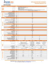
GPS-Aided INS-DM-FI INS-BM-FI Datasheet Revision 1.13 SPECIFICATIONS Units Inputs & Outputs Parameter Input signals Output signals Update rate Start-up time Positions, Velocity, and Timestamps Horizontal position accuracy (SP) Horizontal position accuracy (SBAS) (1) Horizontal position accuracy (DGPS) Horizontal position accuracy (PPP TerraStar-C PRO) (2) Horizontal position accuracy (RTK) Vertical position accuracy (RTK) Velocity accuracy (OEM7720), RMS Velocity accuracy (u-blox F9P), RMS Horizontal Position accuracy (free inertial, land vehicles) Horizontal Position accuracy (free inertial,...
Open the catalog to page 3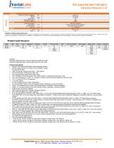
Thnertial Labs VIAVI Solutions company GPS-Aided INS-DM-FI INS-BM-FI Datasheet Revision 1.13 Specifications subject to change without notice (1) GPS only. (2) For Novatel OEM7720 GNSS receiver only. Requires a subscription to a TerraStar data service. (3) RMS, incremental error growth from steady state accuracy. Post-processing results using third party software. (4) Dynamic accuracy may depend on the type of motion. (5) Tracks up to 60 L1/L2 satellites. (6) If tracking GPS Only. (7) Time accuracy does not include biases due to RF or antenna delay. (8) Typical result value. (9) Depends on configuration....
Open the catalog to page 4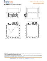
GPS-Aided INS-DM-FI INS-BM-FI Datasheet Revision 1.13 INS-DM-FI Mechanical Interfaces Description DISCLAIMER: The document is subject to change without notice. Inertial Labs reserves the right to make changes to any product or technology herein. Inertial Labs does not assume any liability arising out of the application or use of the product. TRADEMARK LEGAL NOTICE: All product names, logos, and brands are property of their respective owners. All company, product and service names used in this document are for identification purposes only. Use of these names, logos, and brands does not imply endorsement....
Open the catalog to page 5All Inertial Labs, Inc. catalogs and technical brochures
 INS-FI Datasheet
5 Pages
 INS-D Datasheet
5 Pages
 INS-P Datasheet
5 Pages
 INS-B Datashee
5 Pages
 INS-U Datasheet
5 Pages
 CheetahNAV Datasheet
6 Pages
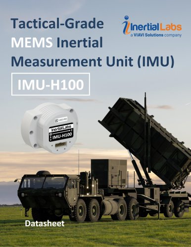 IMU-H100
4 Pages
 IMU-FI-200T
4 Pages
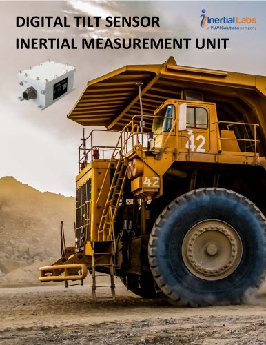 kernel_110m_datasheet.
4 Pages
 KERNEL-201 IMU Datasheet
4 Pages
 Kernel-210-220 Datasheet
6 Pages
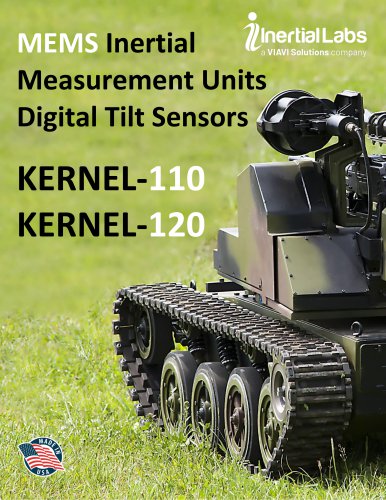 IMU-Kernel-110-120 Datasheet
5 Pages
 KERNEL Datasheet
5 Pages
 IMU-P S Datasheet
5 Pages
 IMU-P A Datasheet
5 Pages
 IMU-NAV-200 Datasheet
4 Pages
 IMU-NAV-100 Datasheet
4 Pages
 RESEPI Product Brochure 2025
16 Pages
 Products Catalog 2025
56 Pages
- Inertial Labs inertial system
- Inertial Labs IMU inertial system
- Inertial Labs drone inertial system
- Inertial Labs high-accuracy inertial system
- Inertial Labs AHRS inertial system
- Inertial Labs MEMS inertial system
- Inertial Labs INS inertial system
- Inertial Labs GNSS inertial system
- Inertial Labs 3-axis inertial system
- Inertial Labs miniature inertial system
- Inertial Labs ITAR-free inertial system
- Inertial Labs navigation inertial system
- Inertial Labs avionics instrument inertial system
- Inertial Labs inertial system with integrated GPS
- Inertial Labs LIDAR laser
- Inertial Labs drone LIDAR laser
- Inertial Labs mapping LIDAR laser
- Inertial Labs surveying LIDAR laser
- Inertial Labs measurement LIDAR laser
- Inertial Labs GNSS LIDAR laser